 International Earth Science Competition
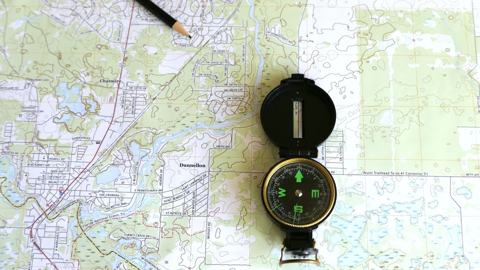
If you're learning how to read a topographic map for a test, make three marks on a practice map: a tick in each gap between two labeled contours, a short stroke across each slope you're comparing, and an arrow along a stream. Each mark makes you check a different kind of evidence. The ticks help you count elevation steps, the strokes show horizontal spacing, and the arrow records which way the land drops along the channel.
A contour line connects points at the same elevation. If a contour is labeled 240 meters, a point on that line is at 240 meters whether the line runs straight or bends sharply. The blank space between two neighboring lines represents a range of elevations, not a strip of flat ground. The U.S. Geological Survey's topographic map overview explains how contours represent the shape of the land.
Start at the legend or map margin. Look for the elevation unit, contour interval, and scale. Keep those details separate: elevations tell you how high points are, and scale tells you how much horizontal distance the map represents. If the question gives you only a cropped map, use the labels and symbols that are visible rather than assuming a unit or interval.
The contour interval is the vertical difference between adjacent regular contour lines. If the map margin states the interval, use it. If it doesn't, choose two labeled contours you can connect by tracing a short route that crosses each intermediate contour once. Bold index contours often carry the labels, but the thinner regular contours between them are part of the count.
Suppose the labels are 200 and 300 meters, with four thin, unlabeled regular contours between them. There are six lines from start to finish, but five gaps. Divide 100 meters by five to get a contour interval of 20 meters. If you divide by four, you've counted only the interior lines. If you divide by six, you've counted both endpoints as if they were elevation steps.
Quick visual check: Write the values in order along your route: 200, 220, 240, 260, 280, 300. Each value lands on a line, and the last one lands on the printed label. If you can't make the values fit, recount the gaps and check the legend for any supplementary contours, which may be drawn differently and do not represent a full regular interval.
On the same map, where the contour interval is the same, closer regular contours mean a steeper slope. The land gains or loses the same amount of elevation in less horizontal distance. Wider spacing means a gentler slope. A slope isn't necessarily steep just because it's near a high summit. A high plateau can have a gentle surface, while a low valley can have steep sides.
If you're comparing two hillsides, look across the contours, roughly at right angles to them, rather than along them. If the test gives you two specific routes, compare the elevation change and horizontal distance along those routes instead. A path that runs along a contour stays at the same elevation even if there's a steep hillside directly above or below it.
Quick visual check: On each hillside, mark a short segment that crosses the same number of regular contour gaps. Suppose each segment goes from 240 to 280 meters on a map with a 20-meter interval. The shorter segment marks the steeper average slope because the same 40-meter elevation change fits into less horizontal distance. If the two slopes are on different maps, don't judge by eye alone: account for both the scale and the contour interval.
Find the stream symbol and follow it to a contour crossing. Where a contour bends into a stream valley, its V points upstream, toward higher ground. The water flows the other way. Look at a bend that actually crosses the stream, not just any pointed contour nearby. A bend on a ridge doesn't tell you which way water flows in a valley.
To check your arrow, follow the channel to another contour crossing. If one crossing is at 260 meters and another is at 240 meters, draw the arrow along the stream from 260 toward 240. The crossing elevations matter more than whether the stream runs toward the top or bottom of the page. North and uphill are different ideas.
Quick visual check: Put your pencil tip at the point of a contour V and point the pencil along the channel toward the open end of the V. That is downstream. Check a second crossing if the first bend is hard to see. If the bends are too subtle to read, use the order of known elevations along the stream instead.
Take a practice map with two labeled contours, a hillside, and a stream. Cover the legend and calculate the interval, then uncover it and check your result. Next, mark two patches with different contour spacing. Last, draw an arrow at a stream crossing and check that it points toward lower crossing elevations. Change maps once you can do all three checks on the first one without relying on memory of the picture.
For a written response, put the map evidence next to the answer. For example: “The contour interval is 20 meters because there are five equal elevation steps between 200 and 300 meters.” For a slope comparison, name the two locations and say which one covers the same elevation change in less horizontal distance. For stream direction, name the higher and lower crossings if the map gives you enough information to identify them.
Use the IESC training and practice problems page for earth science practice or browse the Exam Preparation articles. When you review a missed map question, mark the exact gap, slope segment, or stream crossing that would have caught the error.
Do I count the contour lines or the gaps?
Count the gaps between the labeled contours. Four regular lines in between two labeled lines make five gaps.
Do closer contours mean higher elevation?
No. When the contour interval and scale are the same, closer contours mean a steeper slope. Read the labels to compare elevation.
Does a contour V point downstream?
No. At a stream crossing, the V points upstream. The stream flows toward lower elevations, out through the open end of the V.
About the International Earth Science Competition: an online earth science competition for high school students from around the world. Qualification Round 2027: submissions are open until Sunday, 24 January 2027. How the rounds work